Observing Tree Varieties in Cochituate State Park

,

Observing Tree Varieties in Cochituate State Park

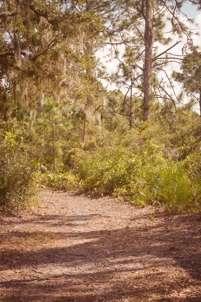
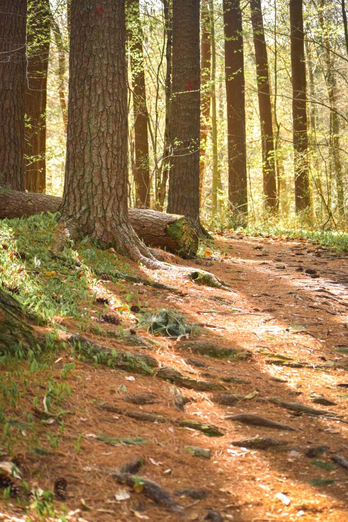
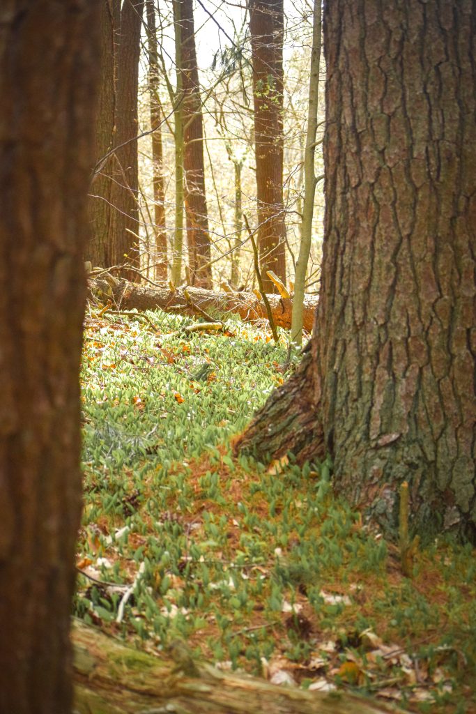
Something I think we often overlook as outdoor recreationalists, regardless of how casual or hardcore we brand ourselves, is the embrace of natural history, or the art of observing closely the variation and behavior of the natural world around us. In Massachusetts, it’s very easy to hike or jog quickly through every stretch of woods and feel as if every stretch of forest looks, and perhaps functions, the exact same way. As I have begun to learn more about ecosystems, and how very specific elements of a site’s environment can influence a plant’s ability to grow there, the presence, or absence, of a single tree species has become fascinating to me.

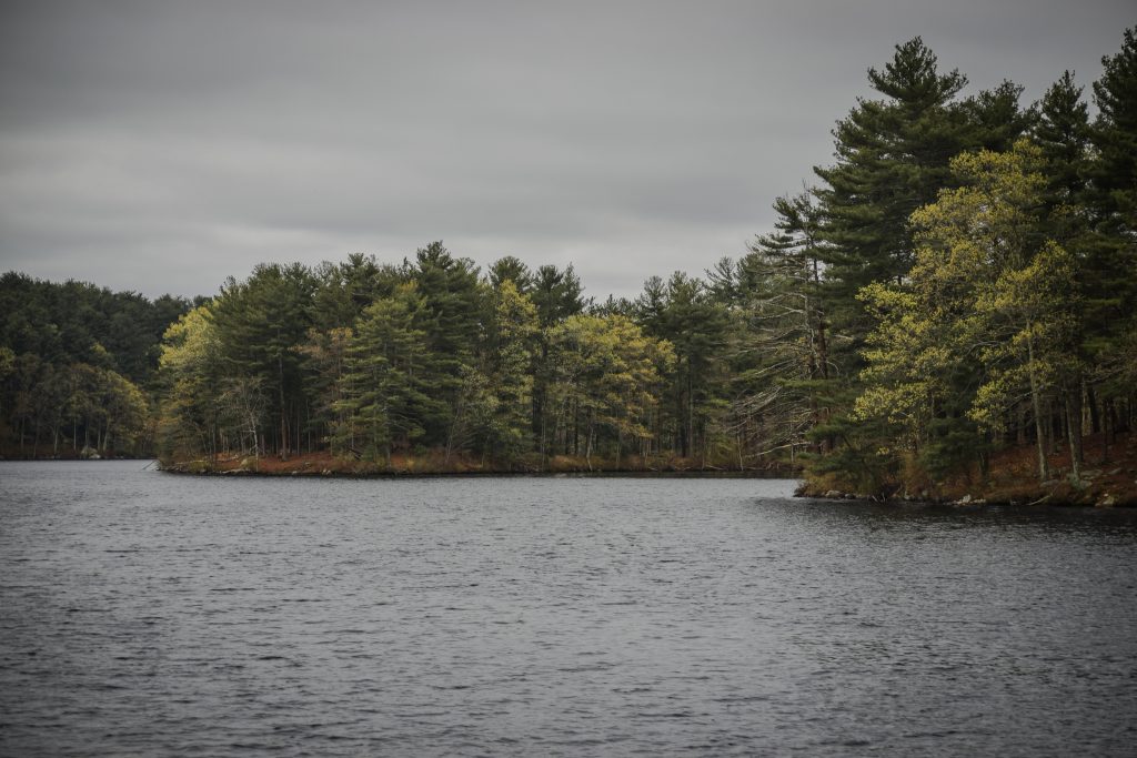
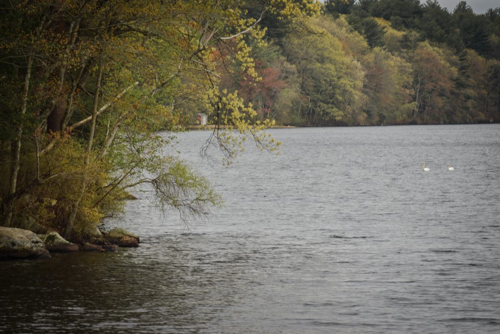
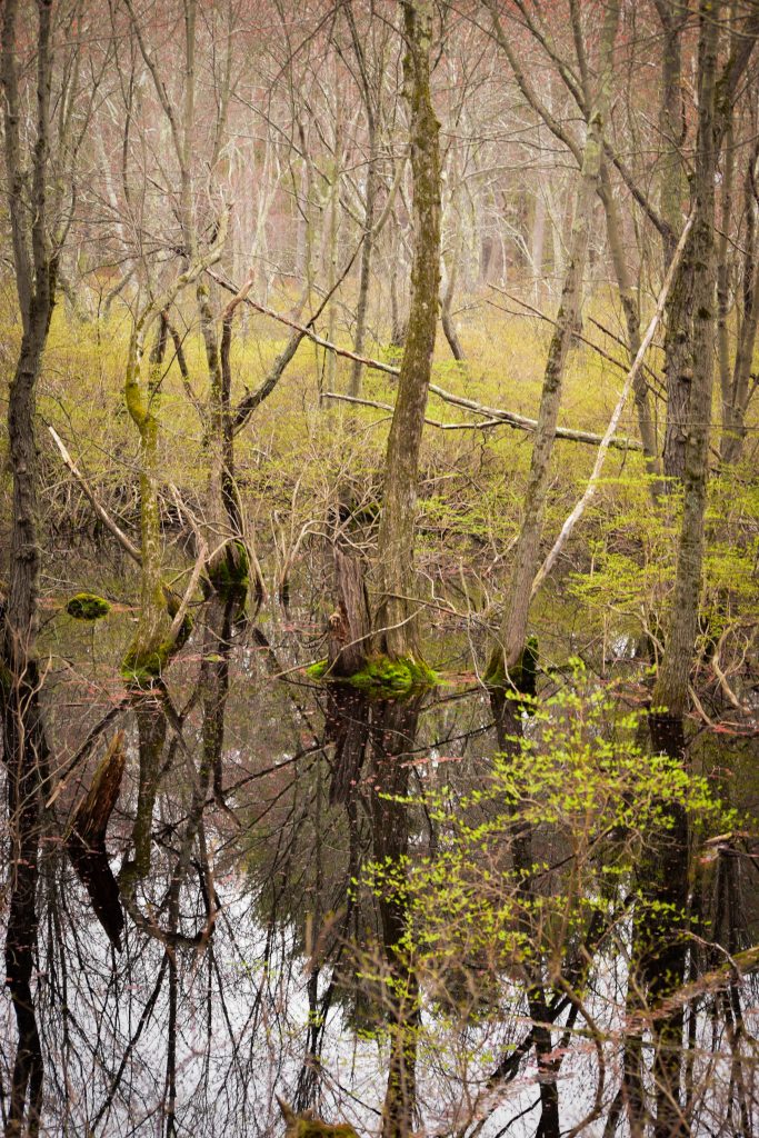
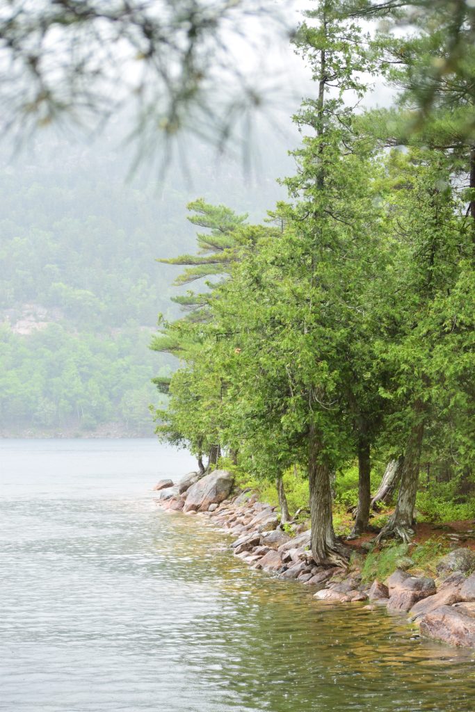
It was with this renewed perspective that I was walking through Cochituate State Park in the MetroWest region of Massachusetts, a rather small state park sandwiched between relatively dense exurb towns of the Boston metro area. The park was created to protect an old series of connected reservoirs for recreational use of the water, and because most of the park surrounds the open water landscape, fantastic views of the distant shores line the park as you walk around. There is a lot of human impact visible along the shore since the purpose of the park is distinctly for human enjoyment. Many boats, fishing materials, docks, and lounge furniture are left strewn around the edges of the water.

Tree Species Observed

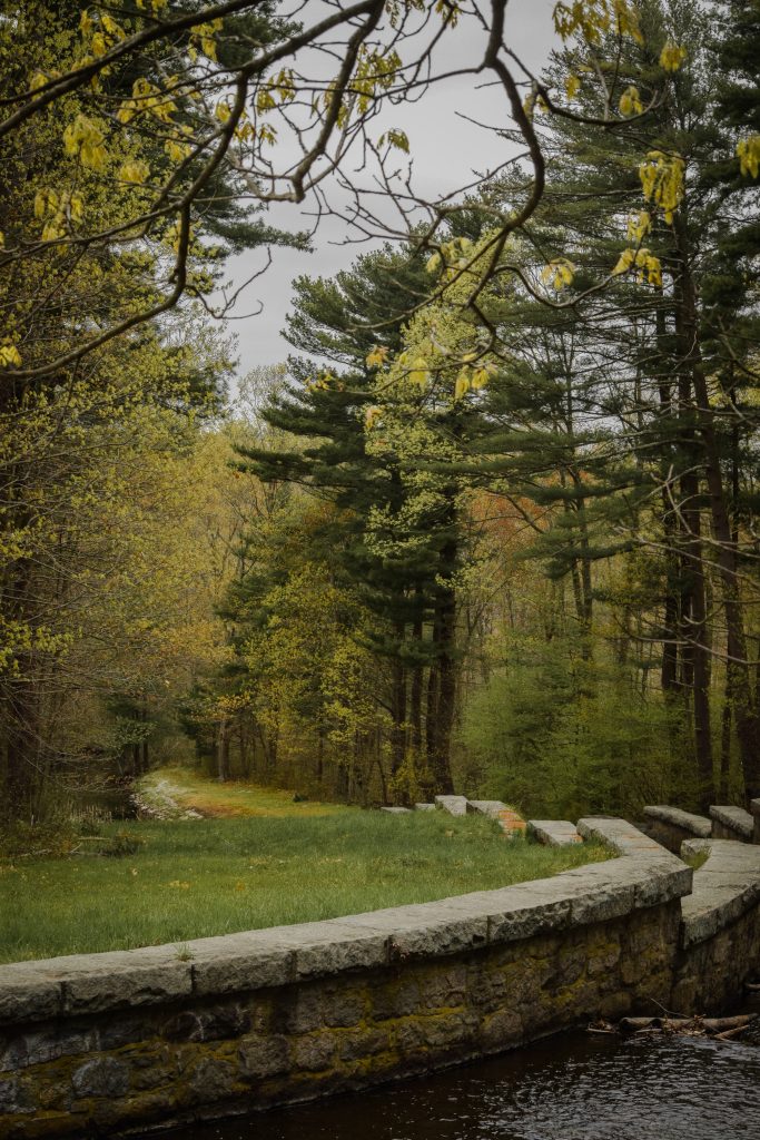
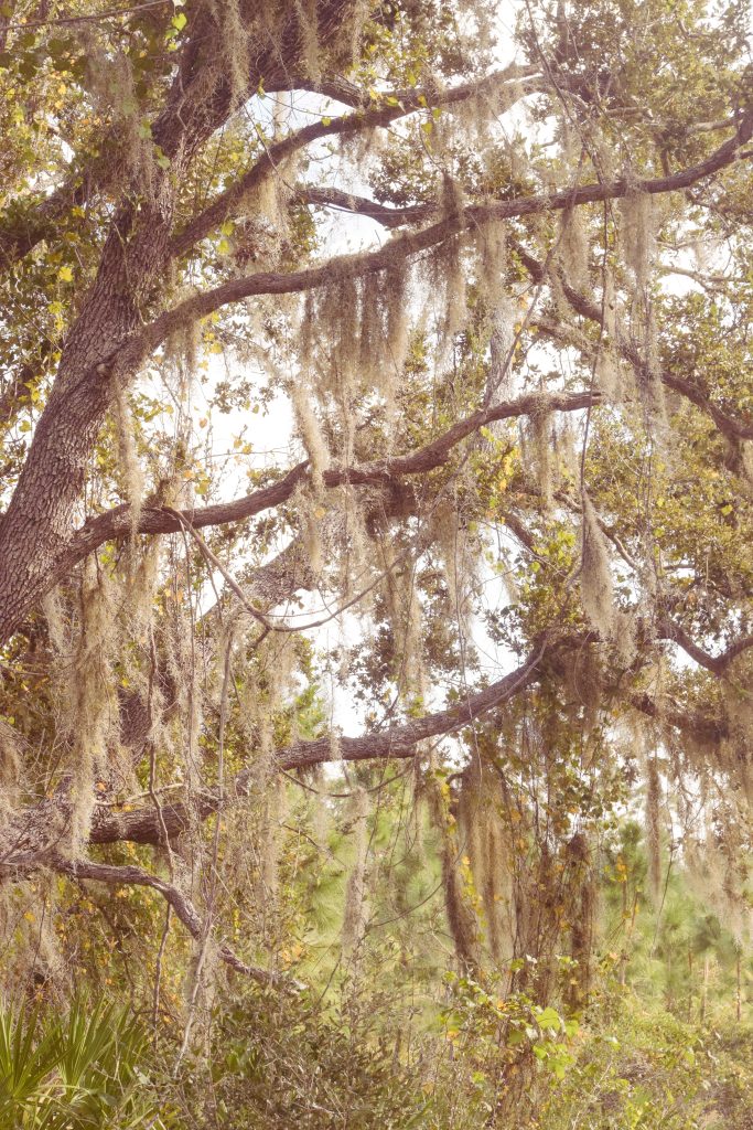
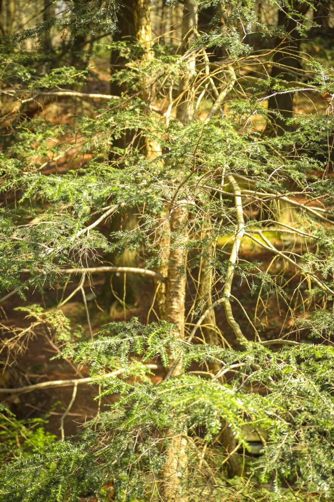
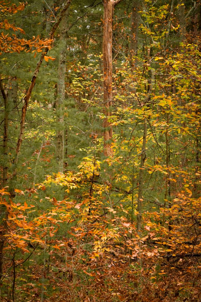
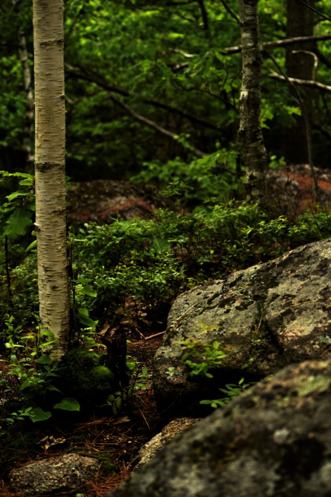
What has been interesting about this area in comparison to locations closer to Boston is the different sorts of tree varieties around the lake. We perhaps just get more opportunities to see these trees growing in an uninterrupted state in more locations in the MetroWest region of Massachusetts because there are more, and larger, protected spaces further away from the denser city limits and inner suburbs, but this is the first instance in which I have been able to definitively identify several Sweet Birch trees growing in a cluster on the eastern side of the park. The presence of these trees indicates the soil probably drains well here despite the land’s proximity to the reservoir (perhaps related to the phenomenon of incomplete riparian environments discussed in our previous article about Ashland State Park). Sweet Birch is also unlike other birch trees in that it can thrive more in areas that are at least partially shaded, or moderately mature forests. It should be noted that shade exists on a gradation in forests, and had the sunlight been completely blocked by dense conifers, sweet birch would not have been able to take root here.

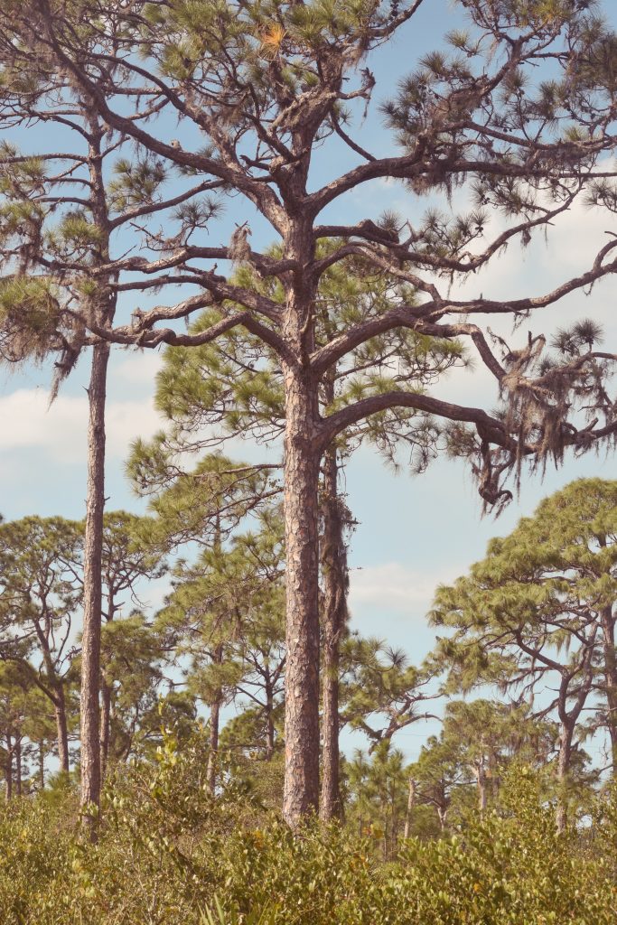
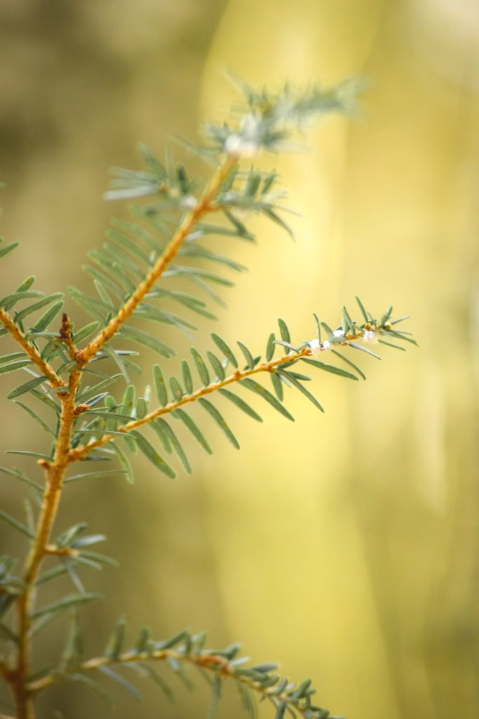
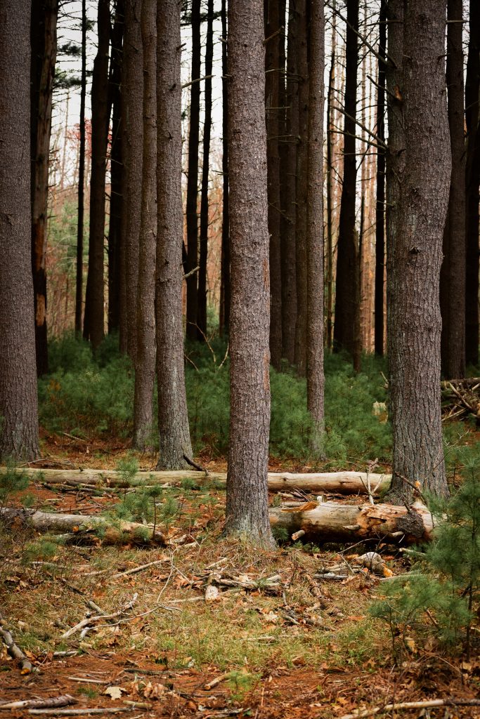
Another interesting specimen find was a single pitch pine sitting amongst the deciduous trees. It was taller than the rest, and presumably older, since pitch pines don’t do well in shaded areas. They also tend to do well in sandier soil and locations that are difficult for other trees to grow, but can tolerate other growing conditions; because of the variety of the other trees here this doesn’t seem like an area that particularly favors pitch pines over other species.

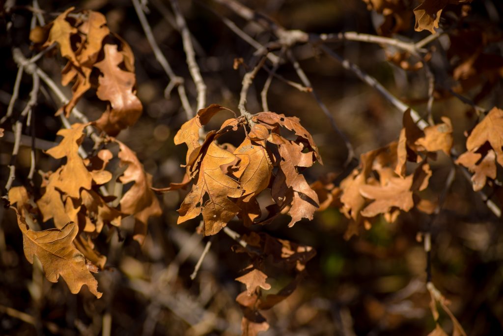
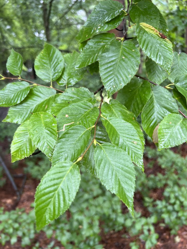
The last species find was a sad one, the presence of beech leaf disease on nearly all of the beech trees found along the walk. Many beech trees in the area seem to have been stricken with this disease this year. I had not seen it at all in prior years and unfortunately it is capable of eventually killing these trees. It is caused by a roundworm that enters the bud in the winter. The disease seems to cause the leaves to appear either striped along the ridges of the leaf, or just plain wilted in general. For a long time, ecologists were discussing how beech trees were slowly engulfing areas previously dominated by oak species, which was a phenomenon that had both potential negative and positive consequences for ecosystems, but with this new threat it’s hard to say how long that increasing beech dominance will last.

Travel Logistics

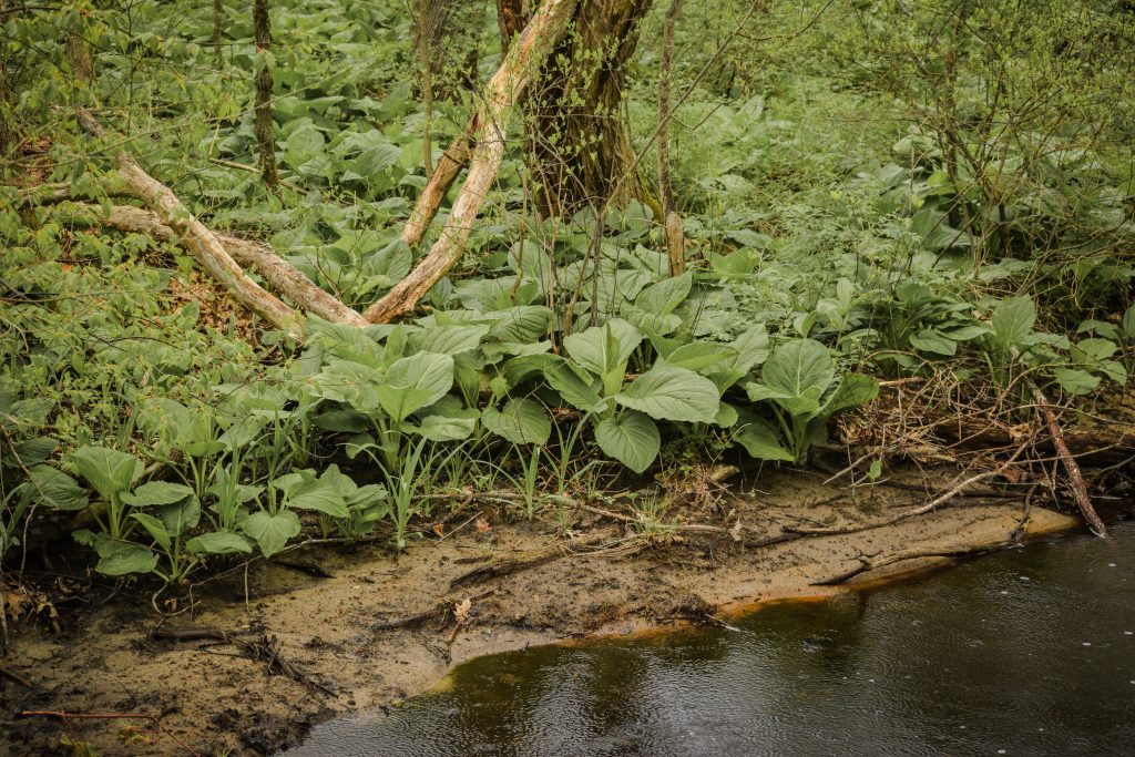
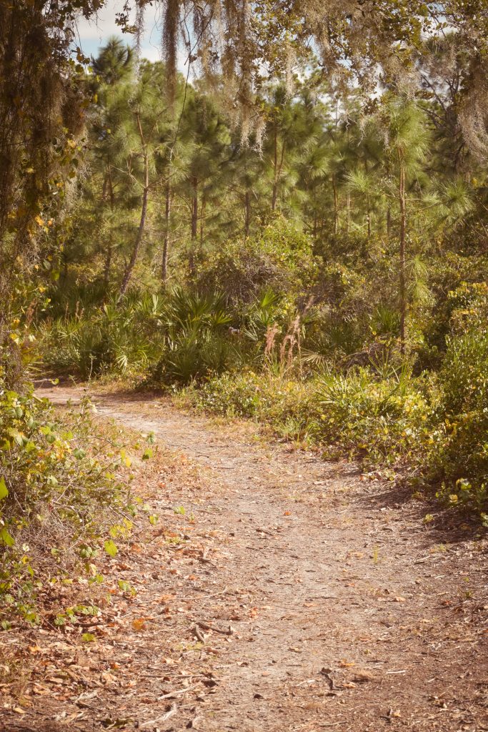
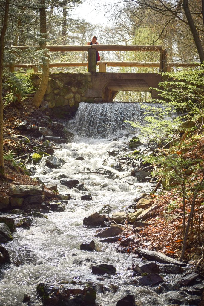
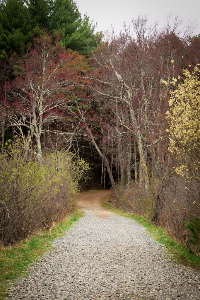
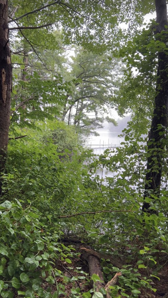
To reach the eastern portion of the park where these trees were observed, you can access a trail via Mary Bunker Park in Natick. You have to walk down to the water and take a right through the thicket to access the state park trail. Stay close to the water once you exit the thicket to avoid crossing over onto private property, and follow the shoreline north from there. When I was last there, this route was blocked by a fallen tree (which does not seem uncommon at this park, perhaps because the terrain is exposed in this area). During weekdays I found the Mary Bunker entrance to be completely empty and vehicle access plentiful. Some locals will be walking their dogs through this area as the location is very residential.

On the western side of the park, a larger beach access point is available but purportedly more busy and subject to even more human impact (reports of trash left behind, etc.). I have not tried parking directly at the state park, but there is a fee to park at the main entrance. You can alternatively park at one of the parking areas along the Cochituate Rail Trail and walk to another entrance to the state park along the trail.

The Consideration of Riparian Environments in Ashland State Park

,

The Consideration of Riparian Environments in Ashland State Park

A former portion of the aqueduct system that provides the city of Boston with fresh water, the Ashland Reservoir was built in 1895. It has since been decommissioned as a potable water source and is now managed by the Massachusetts Department of Conservation and Recreation. The body of water has been maintained for swimming, boating, and fishing, and creates a beautiful, if artificial, lake-like environment. A trail traverses the entire perimeter of the reservoir, and additional trails meander through the woods to the west of the water.

The fairly barren understory shorelines of the reservoir

The local ecology of reservoirs often differ in character from their natural lake, river, and stream counterparts, and Ashland Reservoir appeared to be an example of this phenomenon to us despite its relatively old age. There was very little greenery in the understory under the trees, in stark contrast to the extremely wet, green environment of the stream that runs through the entrance of the park on State Park Road.

The lush riparian understory of the nearby stream

There wasn’t too much visible difference between the trees found on the shoreline and those you might find at higher elevations; the species mostly consisted of white pines, red maple, and oak varieties, with mostly pine needles suffocating the ground. Both white pines and red maples can thrive in a variety of environments, and because of their adaptability were likely able to survive the new, wetter conditions in the uplands. True riparian limited species, such as the hemlock, appear to have not been able to capitalize on the environmental changes. We didn’t spot a single hemlock near the reservoir, though there were a few closer to the park entrance. It is very curious to think of how these forests may have looked before the reservoir was formed. It’s possible that there will be some late bloomer understory varieties later in the year, though when you see a ton of pine needles it doesn’t inspire much confidence that that is the case. One unique quality you may notice on trees near the water is their shape that slopes outward over the flooded area, a feature of plant phototropism that allows them to capitalize on greater light availability over the water. This characteristic of riparian trees can allow for greater biodiversity within the water itself by providing temperature variation via shading.

Trees leaning over the water to capture more light

Walk to the north side of the park and you will be able to see the engineering marvel that is the reservoir dam. Both this dam and the spillway on the east side are on the register of historic places as they were built over a century ago. The dam itself, constructed of concrete and earth, is massive and plays an important protective role in flood prevention for the nearby neighborhoods below the reservoir. The spillway was designed to look as close as possible to a meandering stream, though it still looks pretty uniform compared to the messy streams that run through the rocky Massachusetts environment!

The spillway built in 1895

The park is open year round for hiking, but the main water access is only staffed with lifeguards in the summer months. There were no swimming signs when we were there due to a bacterial outbreak, but some online sources note that swimming is otherwise allowed at any time. The park was virtually devoid of visitors when we went, there were a few dog walkers and a couple sitting on a bench but fairly empty overall in early May, though it was a cold rainy day. The official website notes that parking fills up quickly during the summer months, after which the park closes to further visitors, so I imagine it becomes much more busy for its coveted water access. Before peak season the main parking lots are not open, but you can park at the nearby Ashland Community Center for free in the off season assuming no events are filling up the parking there. During peak season, there is a fee for the main parking area, which varies depending on your residency status. I have not been during peak season so don’t know if it’s still possible to park at the Community Center during that time, but may try to see if it’s possible in the future! However, definitely recommend this park in the off season for some easy fairly flat hikes, especially if you are looking for a dog friendly park.

Exploring Florida’s Fire-reliant Ecosystems in Manasota Scrub Preserve

,

Exploring Florida’s Fire-reliant Ecosystems in Manasota Scrub Preserve

Florida is renowned as a tourist destination for beachgoing and the Everglades ecosystem, but little attention is paid on a national scale to one of its broadest ecoregions, the Flatwoods. Despite this, Flatwoods preserve parks are pretty easily accessible and plentiful in populated areas, in part due to the ease of developing over them, to the detriment of the ecosystem and its unique species. Far from the tropical paradise image the state is known for, Flatwoods exhibit significant dry sandy soils and frequent fires, leading to a proliferation of plant species that can withstand, and may even rely on, fire regimes.

The aforementioned parks include the Manasota Scrub Preserve, a small area sandwiched between various new neighborhood developments that has been set aside to protect this vanishing ecosystem in the city of Englewood. The terrain is flat throughout and generally wide trails can accommodate a variety of hiker skill levels.

Throughout the trails, be on the lookout for the ubiquitous slash pine, one of the most common pine trees in Florida. They tend to be the tallest tree in the area and their foliage congregates at the top of the tree. This pine thrives in warm, humid environments and is only found in the southern United States. Different varieties of slash pine can be more or less adapted to fire. Artificial suppression of fire in the remaining habitats due to proximity to development has often resulted in altered ecosystems for these slash pines, preventing germination in some cases and encouraging invasion by non-native plants not adapted to fire.

In Manasota Scrub Preserve in particular, the recent Hurricane Ian knocked down many of the previously standing slash pines, leaving a more open forest canopy that perhaps was closer to what a Flatwoods would have looked like with prescribed burning or natural fire regimes. Interestingly, there are a few other varieties of trees and shrubs as well, such as oaks in the understory and red maples in wetland areas (the most widespread tree in the eastern US but exclusive to swamps this far south), even more so than pine not the types of trees I would have thought of when thinking of Florida, but not uncommon in specific habitats.

Under the trees the most prevalent shrubby plant is the saw palmetto, its perfectly formed palm leaves in a radiant circular shape. Saw palmetto is mostly found in Florida but its range extends slightly into Georgia, Alabama, and Mississippi, with an odd little dot on its range map lying as far north as South Carolina. It’s believed this plant may be able to live up to 700 hundred years, amazingly, and it has often been utilized in healthcare research for its various medical benefits.

These ecosystems are considered especially valuable since they form critical habitats for a few endangered animal species, including the gopher tortoise and the scrub jay bird. We spotted a gopher tortoise hanging out in it’s homey hole in the ground literally 50 feet from the park entrance, so in our experience they are easy to find! The little guy scurried across the ground fairly quickly for a tortoise, and he munched on the small grasses growing out of the sandy soil. I did not know at the time to lookout for the rare scrub jay but know to do so the next time I return to Florida.

There is a small parking lot along Bridge Street, which bisects the park. The lot is directly connected to the east side of the park and sits pretty close to the location marked on Google Maps. We did not travel to the west side of the park so the access points are not clear, but I assume you would have to cross the street on foot to access the trails on that side. The park was almost completely vacant in the winter; we only encountered one other group of hikers.

Florida can get hot and sunny even in the winter; for best protection against the elements make sure to bring sunglasses, water, and sunscreen, and light, breathable clothing. Also watch the forecast for rain storms, as the state can frequently get severe storm weather, including hail, wind, and lightning, during the summer rainy season; high summer heat indices, which can cause heat stroke if not properly prepared; and of course, hurricanes during the fall hurricane season. Don’t let this deter you from visiting this beautiful preserve though, there are still plenty of beautiful days in this area!

History and Hemlocks in Virginia Wood, Middlesex Fells Reservation

,

History and Hemlocks in Virginia Wood, Middlesex Fells Reservation

Having explored a large portion of the Middlesex Fells Reservation in Greater Boston, I can currently say that Virginia Wood is my new favorite portion of the park. It is a small sliver of forest isolated from the rest of the reserve via a series of roads, and lies east of the i93 bisection of the park.

Virginia Wood has one of the most documented histories of all the park sections. A large sign sits at the front of the northern entrance and details the family that owned the woods prior to its conversion into a public park. The story behind the name is a bit sad. The owner’s granddaughter, Virginia, was riding her horse through these woods and took a fall. She traveled to Europe shortly afterwards and passed away. As the land was being donated by Virginia’s mother, the Trustees who were now tasked with caring for the land decided to name the tract Virginia Woods in memorial.

At one point in its history, Virginia Wood was the site of a small mill village called Haywardville, established for the production of rubber and other goods. This is an interesting detail in that the nearby Whip Hill Park connected to the Fells to the north of Virginia Wood was also owned by a family that made its fortune in the rubber industry at a much later date, suggesting continuity of the industry in the region.

As you explore the woods you will quite easily find mill ponds created by damming and redirection of the Spot Pond Brook that crosses horizontally through Virginia Wood. This has resulted in some absolutely stunning man-made waterfalls that seem to come straight out of a storybook.

Surrounding these waterways are many beautiful Hemlock trees which create high levels of shade over the paths around the water. There are some benches that sit facing the waterfalls for those who would like to stop and admire the view or take photos, and even on a sunny day the Hemlocks create a mystical forest environment of deep, sparsely dappled shade. Sadly, Hemlocks are under attack by a few insect species, causing some of them to start dying off and creating more holes in the forest canopy. I was able to spot instances of hemlocks under attack by both hemlock woody adelgid and elongate hemlock scale, as well as hemlocks that had already died off.

example of how hemlock woody adelgid appears on branches

Despite this tree’s struggle, this area contained some of the largest Hemlocks I had ever seen. Hemlocks grow very slowly, only reaching their maximum height after 300 years and never reaching the heights of white pine trees. I had to crane my neck to verify that they were indeed hemlock trees, suggesting these hemlocks to be rather old specimens!

Hemlock Specimen

Up the hill from the hemlock groves surrounding the water, white pines thrive on the highland areas nearby, showcasing how limited the Hemlock’s range is. The soil up the hill likely drains easily due to its high location, creating an ideal environment for white pines to thrive in a single species stand. On the forest floor I could see Canada Mayflower leaves making their early spring appearance.

Canada Mayflower leaves emerge from the ground near White Pines

While not a super remote area due to the proximity to roads and towns, this area of the Fells felt less busy to me than the western portion of the park. If you’re looking for a place to view waterfalls without much traversal of harsh terrain and places to sit and contemplate or just enjoy the views, this area is for you. There is a parking lot to the north of the woods. It’s small but it was not full when I went. You can also park at the Crystal Springs Parking Lot and walk a short distance with a slight incline, but you will have to cross a busy street so be careful, especially with young children!

Layered Geology in a Transitional Ecosystem in South Valley Park

,

Layered Geology in a Transitional Ecosystem in South Valley Park

The Colorado Front Range foothills put evidence of their underlying geological processes on full display, particularly as visitors go beyond the first elevated ridge delineating the edge of the Rockies, known as the Lyons Hogback. This ridge and the next form a unique valley showcasing rocks of various eras that have emerged during the formation of the Rockies. Due to its unique qualities, the valley has various nature parks created to preserve its natural beauty. South Valley Park, located in the southwestern portion of the Denver suburb Littleton, is just one of many parks in this area open to visitors. This park is a great option for people who are looking for relatively flat, short hikes in the area.

There are two parking lots to enter the park, one in the south and one to the north. Both of these provide easy access for the Coyote Song Trail, which can be done as a loop when combined with the Swallow Trail. This loop is under three miles in distance and the hike can be done in less than half a day. It took me about two hours to complete, but I stopped frequently to admire the surroundings and take photos! Along this loop, you can find massive red sandstone rocks sitting randomly amongst the scenery. These rocks are particularly old extrusions from the Fountain Formation, a set of rock layers that were formed via mineral and organic deposits 290 to 340 million years ago. These rocks are quite plainly distinct from the rocks forming the Lyons Hogback, which are remnants of a newer formation and don’t exhibit the same red rock color. The Fountain Formation also forms the famous nearby Red Rocks Amphitheater and park as well as the Boulder Flatirons.

A red rock, part of the Fountain Formation, sits in front of the Lyons Hogback

Throughout this landscape we can also observe a semi-arid plant environment, showcasing a variety of wild grasses, sporadic bunches of shrubs, such as Gambel Oak, often clustered near the red rocks, and Cottonwood Trees near the lowest areas of the valleys. During April when I was at the park, I could see some of these oaks exhibiting marcescence, more colloquially known as winter leaf retention, just as white oaks do on the US east coast! Cottonwoods in particular are only able to grow in areas with frequent water pooling. In such a dry environment, their growth range is noticeably limited. The relative sparseness of the landscape reflects the reliance of the region on nature fire processes to manage overgrowth, though due to the proximity to neighborhoods it’s possible we are seeing higher levels of shrub and tree growth due to unnatural fire suppression methods.

A Gambel oak showcasing winter leaf retention

Different critters can be observed throughout the park. While going through the grasslands I observed a mule deer darting between the shrub growths. They often utilize the gambel oaks as a food source. There is a reservoir in the northwest area of the park in which you may be able to observe geese floating on the surface. This particular area of Colorado is also notorious for its rattlesnakes. While somewhat misunderstood as more vicious of a creature than it really is, the rattlesnake may bite humans if it feels cornered, chased, or stepped on. They are venomous, so keep your distance if you observe a rattlesnake and don’t put your hand somewhere where snakes may be living without checking, such as in rock crevices.

As is typical of Colorado, it was extremely sunny and pretty warm on the morning I hiked this park. Sunscreen and water is definitely recommended. The park is also strictly a trail-only park to protect the fragile grasses, shrubs, and especially the sandstone formations, so make sure to stay on the trail. There are restrooms at the parking lots of the trails. There was plenty of space in the north parking lot when I arrived, though it was surprisingly busy for a weekday. I usually encountered another hiker or biker every ten minutes or so on the trail, and unfortunately not everyone cleans up after their dogs so lookout for dog poop as you walk. Definitely recommended for geology enthusiasts!

Lawrence Woods, Middlesex Fells Reservation

,

Lawrence Woods, Middlesex Fells Reservation

An isolated portion of the Middlesex Fells Reservation north of Boston, Massachusetts, Lawrence Woods is a later addition to the park that boasts easy access to small hilltops, a historic butterfly meadow, tower ruins, and ephemeral ponds that come and go with the seasons. The flora in this area consists of your typical mix of oak, maple, beech, and white pine trees, which boasted tons of stunning colors even late into the fall.

The area was named after a military general and the first mayor of the nearby town of Medford, who owned the land but allowed public recreation usage for years before the land was officially annexed into the park. He is also credited with the building of an observation tower at the site of Ram’s Head Hill; only the remains of this tower can be seen at the site today. This tower was used as a fire lookout in the years before it was dismantled. The hike up Rams Head to see the remaining stairs, as well as some peaking views of the surrounding cities and terrain, is an easy hike up; the Hill stands at a paltry approximately 215 feet above sea level.

This area of the fells is often referenced for its vernal pools, small ponds that fill with water and drain out depending upon the season and precipitation. We didn’t see any areas with water specifically in late October, but there were many low lying areas with many shrubs around trees that may have been vernal pools. It’s important to note that if you do see a vernal pool, you should not enter or disturb the pool. Pools may only be entered with a permit from the state department of recreation. These pools are protected specifically to protect endangered species that use the pools as a breeding ground in the spring. The pools in this area fill up with spring snow melt and rain and drain out over the summer. Vernal pools are very common across Massachusetts and are documented publicly here.

In the southwestern-most area of Lawrence Woods, we came across many berry bushes that were perhaps an old harvesting site. All of these bushes were so concentrated and the area was more devoid of trees, suggesting a bit of prior human intervention in this section. I would be quite surprised if they all grew naturally here.

The northwestern area of the woods is home to the 90mm meadow, named after a military installation that was installed there during the 1950s. A After a successful fight by locals to reject a proposal to build a recreation center on the site, it was converted into a managed pollinator habitat that is open to the public.

We found this area to be a bit less busy than other areas of the fells, perhaps because it sits across a road from the main section of the reservation. However, the hikes are a lot less challenging than some of the other more rocky areas that exist to the northeast of this section. Parking is generally limited and you may need to find street parking in the neighborhoods to the south, or use the small street side lots that sit across the street on the other side of the fells. Regardless, this is a fun hike for those interested in exploring the history of the forest and some unique local habitats. As always, stay on the trail and have fun!

The Impact of Man on the Environment in Reading Town Forest

Most passerby in a town might not think of its town forest as an interesting pit stop. These locations are often catered towards enjoyment and recreation by locals, with little emphasis placed on accommodation or interest for travelers. Look beyond the immediate, though, and you will discover a rich history hidden in the trees.

The Reading Town Forest began its history as old pasture and wetland that was set aside as a local recreation, education and wood harvesting space around 1930. During this historic time of austerity, town projects such as this were often a way to get people back to work in the wake of the Great Depression. The natural state of this land reflects this history in its evenly planted stands of white and red pine trees, planted in increments over decades and periodically harvested for lumber. When I first encountered these stands, I had not the foresight to even think of them as artificially planted. I assumed all of the trees in these stands were native white pines, and after some cursory research guessed that the bark appeared red on some trees due to their proximity to the nearby wetland. However, these red pines actually tend to thrive in areas further north of the town of Reading. While isolated stands can extend down as far as Virginia, climate change is making it increasingly difficult for red pines to thrive in Massachusetts. Pay attention to the health of the stands in Reading Town Forest, and you will notice that many of the red pine trees are not in good health for this reason. This artificial forestry in the area explains quite clearly why the forest around here looks so distinct in comparison to other nearby nature parks.

Explore around the park enough and you will find a wetland to the north. As of the time of this writing, a large beaver damn broke up a body of water, making for an interesting variation in the landscape. I believe this part of the park is a continuation of the Ipswitch River, which was previously used as a water source by Reading. Old images of this area show dried out waterbeds that are now filled to the brim with water.

Most of the trails in this area are fairly flat, corresponding with the primary wetland ecosystem. There are a few hills, called “islands” on the maps, that you can traverse up to give your self a slight workout. When we went in April, the area was very peaceful with only a few others using the trails. Because the town forest is an actively used space for not only recreation but town utilities, there are some areas with a bit of an industrial feel, such as the paths nearest to the town compost, dog park, and gas utility line. You won’t always feel as if you’re in the thick of nature, but the plantings, some of which flower beautifully in the spring, the wetlands draped in whispy branches, and the river views are nice to see if you’re already in the area. There are parking lots and access points to the south and to the east of the park.

A Sky Island of Pitch Pines on Kebo Mountain, Acadia National Park

,

A Sky Island of Pitch Pines on Kebo Mountain, Acadia National Park

If you’re exploring Acadia National Park and looking for a mountain to summit that is a bit easier than a scrambler, Kebo Mountain is a fantastic option. Located close to the popular Wild Gardens of Acadia and nearby flatland trails, this mountain, which is the second smallest mountain the park, boasts easy access but is still moderately long and steep enough to detract the majority of the crowds you will see in the valleys. Many sections of the trail are still fairly steep and are very rocky, so make sure you’re wearing adequate hiking footwear that can grip the surfaces well, and consider bringing hiking poles if you’re unsteady on rocky surfaces.

The trail runs in a single line from Park Loop Road to the busier Hemlock Trail. If you approach the mountain from the south, you will encounter what may appear to be the summit and temporarily start descending, but this is a bit misleading because you will soon start ascending again until you reach the pitch pine forest at the top of the mountain, which reaches 407 feet above sea level. When you do finally reach this spot, you will see a wooden summit sign.

Summit sign surrounded by pitch pines

There’s no real break in the treeline at the summit, so while you will get peaks through the trees at nearby hills, your view will be fairly obscured by the Pitch Pines that thrive on the peaks of these smaller mountains. Pitch Pines are a hardy species that thrive in rocky or thinly soiled areas, so they tend to dominate the tops of mountains, an environment in which other species rarely thrive. They are also considered a pioneer species, often dominating recently cleared milder regions and until slower growing species take over. They somewhat resemble the Ponderosa Pines seen out west with their gnarly structure but have a bit of a greener hue to them. An interesting map of the variation in forest listed online by the Schoodic Institute demonstrates that this peak’s forest composition may be unique in the region. Pitch pines are only shown to dominate the small peak area of Kebo, while at the larger Dorr Mountain nearby, the Pitch Pines appear to quickly give way to exposed rock faces where no soil is available for any vegetation. This map is a quite old historical map, however, so it’s possible the area would be classified differently today. I did not personally hike up Dorr Mountain, but images of the peak suggest that Pitch Pine forest may surround the barren peak. Because Pitch Pine is a species that primarily extends to regions south of Acadia, it’s possible that the warmer temperatures induced by climate change have produced more favorable conditions for the pitch pines beyond the stand we see on Kebo Mountain.

Like other Acadia mountains, you will encounter large slabs of ancient volcanic granite at the summit, leaving plenty of space to explore the pitch pines and look for peaking views. Erosion of softer rocks via rivers and glaciers over millions of years around this tough granite formed these peaks and valleys that we see today.

You can reach the Kebo Mountain Trail by parking at the aforementioned Wild Gardens, but keep in mind that this is a busy area so parking may fill up quickly. There are many pulls offs from Park Loop Road where you can also access the system of trails that connects to Kebo Mountain Trail. One such pull off exists at the entrance to the Jesup Path from Park Loop Road, shown on the map below:

Conifer Transition at Mt. Falcon Park

Nestled in the foothills just west of the town of Morrison, Colorado, Mt. Falcon gives visitors a glimpse into the ecosystem transitional zone between the plains and the mountains as well as a slice of the region’s human history.

The trees here showcase a greater sense of aridity than higher elevations, seeming to reflect a trend of increasing rainfall as the elevation increases as noted by Colorado State University. We see a high proportion of Ponderosa Pine on the trail, also a common species at lower elevations in the Pine-Oak Scrubland ecoregions that dot the plains near the Denver Metropolitan Area. The hike also travels through grassland meadows where, depending on the time of year, you can observe a few beautiful wildflowers. Look closely and you might find a few ladybugs!

Throughout the hike, there are views towards the mountains to the west, in which alternative pine species that thrive in the higher elevations can be seen. You can tell the difference between Ponderosa and these mountain pines fairly clearly; Ponderosas don’t have the stereotypical “Christmas tree” shape; they tend to look a little more on the gnarly side. They also tend to have tougher needles that are less of a pure green color, with yellow and sometimes brown tones leading to a less vibrant appearance.

On the eastern portion of the hike, there are stunning views of the rain shadow plains the the east that are dominated by human development.

The land was previously owned by John Brisbane Walker, an American entrepreneur from Pennsylvania who previously worked as a magazine publisher for the Cosmopolitan and subsequently worked in the automotive industry. The ruins of his mansion can be seen at the end of the trail, which was destroyed by lightning and never rebuilt. He also attempted to build a summer home for the US president nearby, but ran out of funds and never completed the project. The cornerstone of this project can also be found along the trail. Walker additionally owned the nearby land that encompasses the Red Rocks Amphitheater and is credited with the ideation and initial development of the concert venue.

Take a close look at the trail map before deciding where to start your hike. There is a parking area to the east and well as to the west. I have always used the western trailhead because there is less of an incline and a shorter distance to to reach the mansion, but if you want more of a challenge use the eastern trailhead, which includes a steep 2000 foot elevation gain!

While not anywhere close to the highest altitude in the Colorado Rockies, Mt. Falcon reaches a fairly impressive 7851 feet in elevation. If you are traveling from out of state and coming from a region closer to sea level, be prepared for your body to work harder to gather its necessary intake of oxygen. You will likely feel more out of breath if you are not accustomed to these altitudes, but it’s unlikely you will experience full-blown altitude sickness at this height.

If you’re traveling here in the summer, keep an eye on the forecast and be on the lookout for afternoon thunderstorms (the frequent lightning risk is what caused Walker’s home to burn down, after all). Morning hiking is often preferred to lower the risk of encountering adverse weather. The best way to get to the park is to drive and park in one of the two aforementioned lots.

Jordan Pond, Acadia National Park

One of the more popular spots in Maine’s Acadia National Park, the Jordan Pond loop trail offers spectacular views of the surrounding cliffs and the natural flora of the region without the trials of a strenuous hike. The entire trail is incredibly flat and it’s very difficult to get lost as it follows the edge of the pond the entire way around.

One of the most interesting flora features to pay attention to is the prevalence of paper birch trees near the pond and on the surrounding slopes. Birch trees tend to proliferate in regions of new forest growth. This area experienced a fire in 1947, which has led to the unique forest composition we see today. Interestingly, we can see what the forest may have looked like before the fire occurred by traveling to the western side of the park, which was not impacted by the event. Near Acadia Mountain, birches are significantly less prevalent as they are short lived trees and are typically replaced by trees with longer lifespans in older growth forests. Keep an eye out for the very young, small birch trees around the pond to mountains identify this feature!

As someone who lives in Massachusetts, it was also very fascinating to compare the relative proportions of tree types in this region as compared to my home state. Acadia, and much of Maine, lies in a transitional region between the deciduous forests of southern New England and the northern boreal forests of eastern Canada. As such, we tend to see significantly more and greater varieties of evergreens here than in eastern Massachusetts. However, there are still many beeches, birches, maple, and oak to be found, which are the predominant types we tend to see further south.

The western side of the pond features a very long boardwalk that sits above the muddy shoreline. There is only enough room for one party at a time to pass so be prepared to move to the boardwalk side areas that periodically double the size of the path for other parties passing through. During rainy days this boardwalk can also be very slippery so walk with caution!

Jordan Pond itself, named after a family that previously owned the land and a nearby farmhouse, is a quite impressively sized pond. While the shoreline areas look fairly shallow, the body of water reaches an overall depth of 150 feet! It was carved out by the Wisconsin Ice Sheet during the most recent ice age. It’s a water supply source for the nearby town of Seal Harbor; therefore, wading and swimming are not permitted, so make sure you stay on the trail! Due to the sheer circumference, it is not a super short hike and took us a good couple hours to walk around the entire pond. If you are traveling with younger kids and toddlers and want a shorter, or more customizable option, the Wild Gardens of Acadia and nearby Jesup path are great options, but this path is great to go on with older elementary-aged kids, middle schoolers, or adults with limited hiking experience if you plan to tackle the entire route. The entire path is very flat and you will be able to experience the grandeur of Acadia without scrambling.

There is a large parking lot nearby with access to the only restaurant in the park as well, historic in its own right and famous for its popovers since 1893. The lawn and gardens around the restaurant are surprisingly manicured, having been actively managed before the National Park was established.

Be aware that because of the accessibility and popularity of national park locations, this trail gets extremely busy. We were in the area on a rainy day and still encountered a decent crowd. The restaurant is consistently busy and there was a 40 minute wait to sit down. The parking lot can also quickly fill up. There are sometimes alternative routes into the pond trail from pullover sites on Park Loop Road, but they are tend to lengthen the length of the hike and add more elevation gain. If you are looking to escape from other humans a bit more, I recommend finding routes on the western side of the park or avoiding the national park altogether and exploring some local nature preserves instead.